Library Treasures
There are some excellent books to be found in Milton Keynes libraries (and not just the local studies section in the Central Library) – about the history of our city.
I’m currently borrowing (fear not, there are multiple copies) – three excellent books – which are aiding my research. I will be putting the results up on this blog.
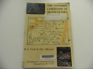
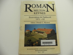
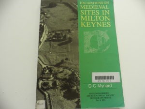
The three books are
The Changing Landscape of Milton Keynes – R A Croft and D C Mynard. This has a chapter by R J Zeepvat on the geology and topography of this area – an essential for understanding our city’s past and present; Descriptions of the area at different periods. [Prehistoric; Roman; Saxon; Medieval and Post-Medieval]; a chapter by M Gelling on place-names of the Milton Keynes area. It concludes with a series of parish essays – focusing on discoveries made in the old parishes of our city.
Roman Milton Keynes: Excavations & Fieldwork 1971-82 – edited by Dennis C Mynard. It has some excellent maps; drawings and lists of finds. There are also a set of photographs.
Excavations on Medieval Sites in Milton Keynes – also by Dennis Mynard in the Buckinghamshire Archaeological Society Monograph Series. This too has some excellent diagrams & drawings; photographs and descriptions of the major sites.
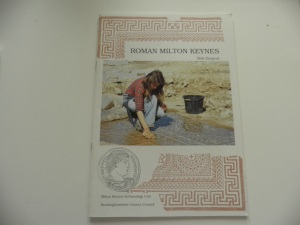
I have my own copies of two excellent books – R J (Bob) Zeepvat’s “Roman Milton Keynes” which has chapters on Iron Age Background; The Roman Occupation; Roman Government; Towns; Communications; Countryside; Villas; Trade & Industry; Religion and Burial – and Further Reading.
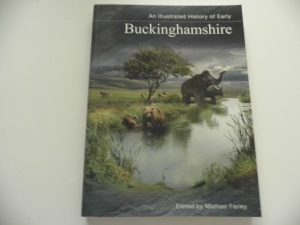
and “An illustrated History of Early Buckinghamshire” edited by Michael Farley – which describes the area and puts it into a wider context.
Thanks
… to the Parks Trust for this year’s excellent Walking Festival. There was a great programme – covering everything from Nordic Walking; to local history; flowers and wildlife.
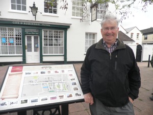
After Saturday’s MK Past & Present which I did with my Son and Daughter in law; I joined the Stony Stratford in Bloom Walk with my wife on Sunday morning – and then I joined the Iron Trunk and Ouse Valley Walk.
The weather may not have been brilliant – but I feel so much better; not just because of the fresh air and exercise – but all the walks were so interesting.
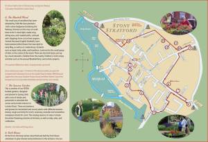
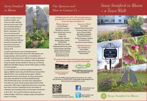
It’s fantastic what Stony in Bloom have done – a very nice town has been made brighter and more attractive by the work they have done. A new leaflet has just been produced – and is available in hard copy around the town. I’ll be going back to revisit the route as the seasons change.
Walkers on the “Iron Trunk and Ouse Valley Walk” were also given a useful map for future use – of the five “Iron Trunk Aqueduct Trails” which can be downloaded from http://canalrivertrust.org.uk/media/library/1551.pdf
‘The Park Trust’ and ‘Stony in Bloom’ can only bring these delights to Milton Keynes citizens through their volunteers.
Thank you for all you do.
Watling Street
Today the V4 is just another of the grid roads that run through Milton Keynes – but it was proably the most important road in British history. It has been the major South East to North West artery for almost 2000 years, perhaps for even longer.
The full route ran from the ports on the English channel. Richborough was the site of the landing during the invasion – and remained a key port, though it was later overtaken in importance by Dover. As previous posts mention, it may have originally crossed the Thames where the Palace of Westminster now stands – but after 50AD when through the new city of London. It was crossed in Leicestershire by the less important SW to NE road from Exeter to Lincoln known as the Fosse Way. There were probably two destinations – Chester and Wroxeter.
The Watling which saw the end of Boudicca’s rebellion took place at some point close to this highway.
In the Saxon period most of it was, briefly, a major frontier – between Anglo-Saxon England and Danelaw. Most of the frontier was on the Watling Street, but at Stony Stratford the boundary left Watling Street and followed the Ouse – so Milton Keynes, east of Watling Street, was an outpost of the English kingdom.
In the Middle Ages it was a key transport route – and it was in this period that Stony Stratford became important. The coaching inns still remain! Until the A5 was diverted through a new grade-separated dual carriageway in our city, what we know as the V4 was a major national trunk route.
Loughton Brook
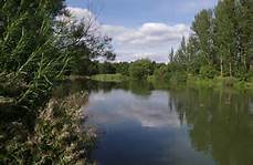 Loughton Brook dominates “West of Watling Street” – even though it’s main course is to the East after the low bridge by Furzton. Its tributaries have shaped the estates to the West.
The brook rises in the fields around Whaddon Road, to the south of the Buckingham Road, and just north of the village of Mursley. It enters the Borough of Milton Keynes at the Bottle Dump roundabout where Standing Way begins. Although “Emerson Valley” suggests that there might have been an alternative name for the brook, that name combined the names of two farms in the Shenley area – Emerson Farm and Valley Farm. (Anne Baker – Street Names of Milton Keynes West, 2006).
The brook flows into Furzton Lake, which was built to reduce the risk of flooding further downstream and into the Great Ouse valley. Two streams joined the brook at the bridge. A stream also flowed in from what is now Oldbrook (no prizes for guessing where the name for that estate originated).
The old Loughton village was built just above where streams flowed in from both the western and eastern slopes of the valley. Another important tributary flowed in from what is now the Abbey Hill golf course.
The brook finally joins the Great Ouse near New Bradwell.
Two of Milton Keynes’ most important historical sites lie close to the brook – Bradwell Abbey and the Roman villa at Bancroft.
The Geography of Milton Keynes
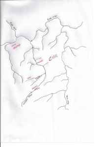 Central Milton Keynes is built on a plateau between the Loughton Brook and the River Ouzel. Both are tributaries of the Ouse which flows from West to East.
Watling Street runs alongside the Loughton Brook Valley from the point where the stream flows out of Furzton Lake. Two streams used to met near that Watling Street crossing – the most northerly is the ‘brook’ from which Shenley Brook End gets its name. Loughton Brook heads in a northerly direction, which Watling Street is aligned to the North West.
The map above show the original pattern of streams. (Click on the picture to zoom in) An Ordnance Survey 1:25000 map shows the contours and the remaining streams. The OS website is a useful one to visit. http://www.getamap.ordnancesurveyleisure.co.uk/
Geography has played an important part in our history. The original settlements were close to streams or other sources of water. The roads; canal and railways followed either the river valleys or ran across the top of the ridge.
In future posts I will explore some of the settlements that were here, long before we arrived.
